Remote sensing and its role in environmental monitoring
Key takeaways from seminar
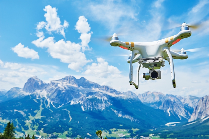
Remote sensing technology can help support the management of water, land, aquatic ecosystems and biodiversity. © Shutterstock / Dmitry Kalinovsky
In the next few years, the quantity of satellite data is expected to increase at least four-fold. The European Space Agency Sentinel platforms providing satellite data of higher resolution and frequency are just one part of this burgeoning data flow. The fact that this resource is free of charge opens up a host of potential applications across the globe.
In parallel, Unmanned Airborne Vehicles (UAVs), also known as drones, provide an exciting new platform for remote sensing observations. UAVs offer unprecedented resolution and flexibility – and they have yet to be fully exploited within hydrological and environmental monitoring.
These are some of the key messages from the recent joint seminar arranged by DHI and DTU. To get an overview of the latest knowledge concerning remote sensing for monitoring and managing water environments, take a look at the presentations from this event.
|
Title
|
Presenter
|
Email
|
|
Keynote:
New opportunities in satellite remote sensing and environmental applications – ESA perspectives
|
Radoslaw Guzinski,
European Space Agency, Centre for Earth Observation
|
Radoslaw.Guzinski@esa.int
|
|
EO for Water Resources – current practice and examples
|
Christian Tøttrup,
DHI GRAS
|
cto@dhigroup.com
|
|
Water level of rivers and lakes observed from space
|
Karina Nielsen,
DTU Space
|
karni@space.dtu.dk
|
|
Transboundary water management with remote sensing
|
Oluf Jessen,
DHI
|
ozj@dhigroup.com
|
|
Evaluating the spatial performance of hydrological models using remote sensing data
|
Gorka Mendiguren,
GEUS
|
gmg@geus.dk
|
|
Keynote:
Managing and researching fluvial landscapes with UAVs
|
Patrice Carbonneau,
University of Durham
|
patrice.carbonneau@durham.ac.uk
|
|
Hydraulics and Drones: Observations of water level, bathymetry and water velocity from UAVs
|
Filippo Bandini,
DTU Environment
|
fban@env.dtu.dk
|
|
Understanding vegetation dynamics using UAS*-based remote sensing#
|
Signe Nordmand,
Aarhus University
|
signe.normand@bios.au.dk
|
|
Water and carbon modelling of the land surface using remote sensing (Satellites and UAVs)
|
Monica Garcia,
DTU Environment
|
mgarc@env.dtu.dk
|
|
Flood screening using the Lidar-based Danish Elevation Model
|
Eva Bøgh,
SDFE
|
evboe@sdfe.dk
|
*Unmanned Airborne Systems
#For more information, contact the author
How to stay updated
Read more